Archive Search
Identify possible satellite and aerial imagery sources for your requested location and period.

GRAIN DATA SOLUTIONS · IMAGERY
Finding imagery from a particular location and time period can be challenging. Grain Data Solutions helps clients search historical satellite and aerial imagery archives, assess available coverage, and identify imagery that may meet their project requirements.
We support inquiries related to property history, land-use changes, insurance matters, legal research, and other applications where historical imagery may be useful.
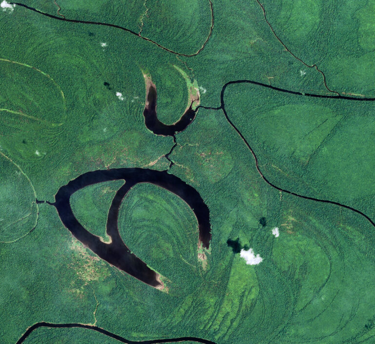
Satellite image from SPOT – Amazon rain forest in Brazil
START WITH YOUR LOCATION & DATES
We help locate potentially relevant imagery for property history, historical land conditions, insurance matters and related investigations.
We search for available imagery and share whatever source details the provider makes available. We don’t provide legal advice or assess whether imagery can be used as evidence.
Discuss Your Imagery RequirementsLearn how historical imagery may be used in legal and insurance matters
SOURCING & FEASIBILITY
Services depend on project scope, provider archives and data availability.
Identify possible satellite and aerial imagery sources for your requested location and period.
Check available acquisition dates, coverage and resolution.
Provide available image-source details and metadata where accessible.
GDS can help investigate imagery availability for a requested location and period.
Available acquisition dates, resolution, coverage and source documentation depend on the imagery provider and archive.
Depending on the provider, some imagery comes with licensing terms or a purchase cost.
FREE INTERACTIVE TOOL
Our free interactive map lets you compare the same area in 1980 and 2024. Need imagery for a specific place and date? Request a custom search below.
RESEARCH & APPLICATIONS
Explore existing research on agricultural remote sensing and related applications.
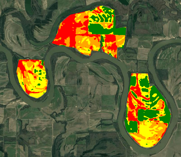
Explore satellite-based farm fertility zones and yield maps.
Read the article →
Satellite applications in farm appraisal and land assessment.
Read the article →
Monitoring regenerative agriculture with imagery and AI.
Read the article →
A cropland biodiversity case study.
Read the article →
Grain commodity data from satellite imagery and AI.
Read the article →
Satellite and AI applications in wildfire monitoring.
Read the article →
AI applications for agricultural satellite imagery.
Read the article →
EXISTING IMAGE COLLECTION
View examples from our existing satellite imagery collection.
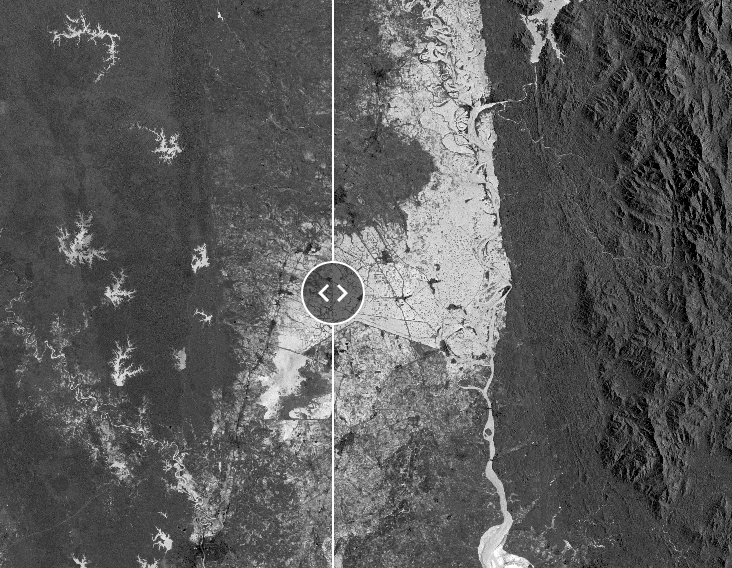
River flooding
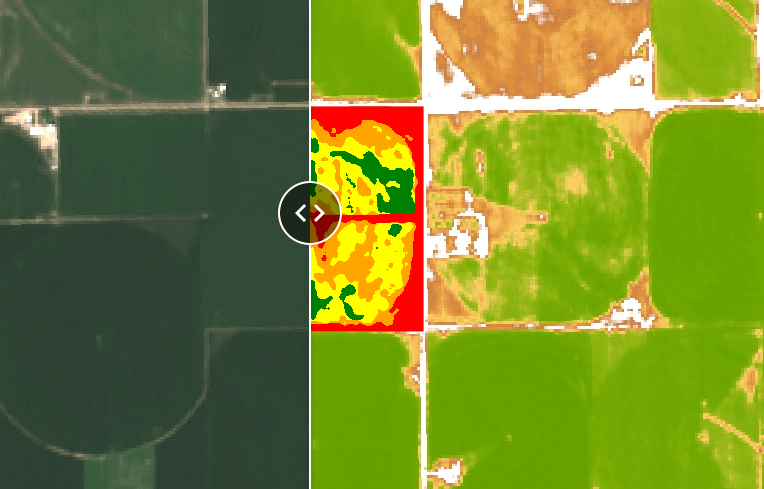
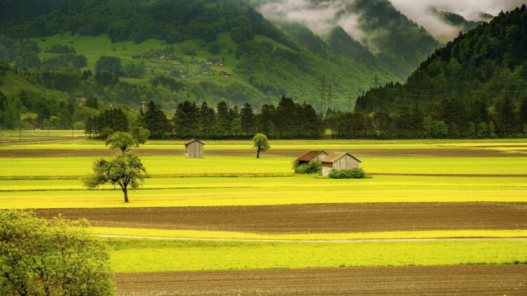
Vegetation patterns
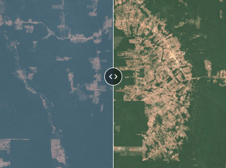
Land-cover change
COMING SOON
We’re developing an application that will make searching historical satellite and aerial imagery archives quicker and easier. Until it launches, our team can run the search for you.
Join the waiting list and we’ll email you when it launches.
CONTINUE EXPLORING
Fresh from the blog: our most recent articles on satellite and aerial imagery.
TELL US WHAT YOU NEED
Share your location, approximate date range and imagery requirements for an initial feasibility discussion.
We’ll only use these details to respond to your imagery request. See our Privacy Policy.