Regenerative agriculture is a holistic approach with principals like minimizing soil disturbance, increasing crop diversity, covering soil surface, and grazing animals on the land. In this post we discuss application of satellite images and AI in verifying several aspects of regenerative farming such as detection of cover crops, tillage, agroforestry, crop-rotation, and grazing.
NDTI map of farms using satellite imageries and AI

What is Regenerative farming?

Defined based on the outcomes and/or practices, Regenerative Agriculture is a holistic practice of farming that leads to increasing biodiversity, improving water, soil, and crop health, and increasing carbon sequestration in soil, while improving or maintaining farm productivity and profitability.

What are principles of regenerative farming?

What are principles of regenerative farming? Similar to presence of different points of views on the outcomes of regenerative agriculture, the principles are not totally agreed upon, however, in a majority of references there are 4 main principles of regenerative agriculture:

  1. Minimizing soil disturbance: This practice has a spectrum of minimal tillage to no-tillage, which in turn reduces soil erosion, and keeps the structure and integrity of soil intact. As a result, reducing soil disturbance improves soaking of rainfall and air exchange in soil .
  2. Increasing crop diversity: Planting different crops each year (crop rotation), planting more than one crop in a field simultaneously (intercropping), and planting trees and bushes around the farm or inside the farm (agroforestry).
  3. Covering soil surface all year round: The soil could be covered by commodity crops (such as corn and soybeans), perennial crops (such as alfalfa), cover crops (such as clover, turnip, rye) after the commodity crops are harvested. The soil can also be covered through leaving crop residue on the soil after harvest.
  4. Grazing animals on the land: Integrating animals into cropland -specifically in the form of managed and rotational grazing – adds values into the farming system such as reducing the costs of animal feed and labor. On top of that, better weed management and additional source for plant fertility are among the benefits of integrating livestock.

Is regenerative farming the future of agriculture?

Regenerative agriculture may be the path toward the future. Farmers’ attention to their soil health, voluntary carbon market, regenerative food products, and government regulations are the main driving forces behind the increasing attention toward regenerative farming and more broadly sustainable agriculture.


A- Farmers care about their soil health: Soil is a living organism, and its health is directly affected by the type of practices adopted by farmers. Extensive soil disturbance (excessive oxidation), leaving soil bare (soil erosion), and absence of living roots in soil (disrupting the ecosystem for living microorganisms) significantly reduce soil quality over time. For example, US cropland soils have lost 30-50 percent of their organic carbon during their cultivation. Farmers notice detrimental effects of traditional farming on their soil health firsthand and many of them take meaningful actions toward keeping/restoring soil health in their farmland.

This graph shows the decline in Soil Organic Carbon in cropland with respect to conventional and improved management.
Decline in Soil Organic Carbon in cropland with respect to conventional and improved management.

B- Attention toward regenerative farming grew in a higher rate comparing to soil health, particularly because of the new capital sources that injects money into sustainable farming. 

The first business incentive comes from Voluntarily Carbon Market (VCM), which was valued at $3.3 billion in 2021, and is projected to grow into $50.0 billion by 2030 (15 times increase). In farming industry VCM rewards farmers to adopt practices that sequester carbon in soil, which mainly are evolved around regenerative farming practices. The second business incentive is regenerative agriculture food product market, which is currently a niche market but is expanding enormously. There is a growing trend among consumers to eat products with low carbon footprint, which in effect pushes big names such as Nestle, General Mills, and Pepsico to become committed to net zero and adopt regenerative farming at upstream of their value chain. Unfortunately, a ton of greenwashing involved in these new trends as well, however, consumer demands and regulations seeking transparency push real change in the corporate world. 

This graph shows the trends in the search topics of "soil heath" and "regenerative agriculture" since 2017
Trends in the search topics of “soil heath” and “regenerative agriculture” since 2017

C- Last but not least, governments, particularly in developed countries, rather slowly but quite consistently develop new regulations that put check boxes around what could and could not be done in a farmland from sustainability point of view. Data in farming industry is notoriously scattered. However, at the end of the day, you cannot manage what you cannot measure. One of the main bottlenecks in this process is lack of comprehensive, available, and updated data from farming industry.

We had numerous meetings with food companies, government officials, and carbon project developers who expressed they send people for scouting and windshield surveys. This means driving to farms in an area, collecting data and putting together a report from observations. Obviously not an efficient way considering vast scale of croplands, and that's where technology can help.

How satellite imageries verify different aspects of regenerative farming?

1 - Detecting cover crops by satellite

Looking by satellite at growing stage and vegetation status of a field, there are different categories of cover crops. Some are planted before winter and the plants are killed by winter frost (winter kill). Some cover crops survive the winter till next growing season (winter hardy), some are emerged in spring (spring emergence), and some are planted as a cash crop (such as winter wheat) and harvested before next commodity crop. If we plot normalized vegetation index (NDVI) of a farm over time, with or without any cover crop, we can see the pattern of vegetation showing up like a signature of presence or absence of any type of cover crop. For example, graph below shows NDVI over time for two farms in Ohio, US. Only the farm in green graph planted winter hardy cover crop in 2020 and 2021. 

This graph shows time series of NDVI indicating presence of the planted winter hardy cover crop in soy/corn farm 2020 and 2021 (green graph) compared to no cover crop (orange)
Time series of NDVI indicating presence of the planted winter hardy cover crop in soy/corn farm 2020 and 2021 (green graph) compared to no cover crop (orange)

 This could be visualized by directly visiting the RGB images as well.

This GIF presents satellite observation from harvest time in 2020 to planting time in 2021. The farm with cover crop (at center) has maintained the living roots in its soil for the majority of the year.

2- Detecting Tillage by Satellite images

Tillage can be detected by satellite through presence/absence of plant residue on soil or sudden changes in soil roughness. Electromagnetic wave of plant residue is different from live plants and bare soil.

This graph shows Standard reflectance spectra patterns for straw, vegetation, clayey and sandy soils.
Standard reflectance spectra patterns for straw, vegetation, clayey and sandy soils.

Normalized difference tillage index (NDTI) is an index based on specific absorption of short wavelength infrared (SWIR) by dead plants.

NDTI = ((SWIR1 – SWIR2))/((SWIR1+SWIR2))

A time series plot of NDVI and NDTI of a farm is usually a good indication of presence of bare soil in farm, which in turn means soil was plowed and plant residue is buried. This method, however, is not bulletproof. A moist soil can significantly absorb most of electromagnetic wave and renders NDTI inaccurate. Besides, extent of plant residue is different for variety of crops (e.g. corn has much more biomass per acre compared to soy), which needs to be considered if this approach is used. 

As a complementary method, we use Synthetic Aperture Radar (SAR).

In contrary to passive satellite sensors such as Sentinel-2 and Landsat 8, SAR is a type of active data collection where a sensor produces its own energy and then records the amount of that energy reflected back after interacting with the Earth. Sentinel-1, ALOS, and RADARSAT are examples of satellites having SAR technology.

SAR reflection is sensitive to surface roughness, however, because of its microwave nature it’s hard to interpret SAR images by human eyes. That’s where Grain Data Solutions uses image processing and ML models that significantly improve accuracy of detection of tillage practices.

3- Verification of Agroforestry by satellite

While detecting trees and shrubs in and around cropland sounds like a trivial task to human eyes, it requires extensive image processing and training ML models on satellite images for large scale projects. This is particularly the case for ecosystem/biodiversity projects where farmers are received incentives for having trees or shrubs in their farm next to the crops. Here the question is no longer yes/no, but how the ratio is changing over time, i.e. acres of trees/shrubs/wetlands to acres of cropland. As an example, below see a farming area in Iowa, USA where over extent of 4 years, area of shrubs and trees reduced by 16% and 22%, respectively.

This picture shows an RGB image of a farming area in IA, USA in 2019
This picture is an RGB image of a farming area in IA, USA in 2022
This picture shows Crop classification of a farming area in IA, USA in 2019
This picture shows Crop classification of a farming area in IA, USA in 2022

Decrease of the ratio of trees and shrubs to croplands over past 4 years in a cropland area south of IA, USA; Top (RGB), bottom (land classification)

4- Detection of crop type and crop rotation by satellites

Verification of crop rotation aspect of biodiversity is based on using satellite to identify crops. Crops could be identified by their NDVI time series over time, and/or their unique reflection with SAR data. Grain Data Solutions uses both approaches to identify crop rotation patterns in large scale areas. While economy of farm is usually the main driving factor for most farmers to decide on which crop, they plant for next year, this decision is not necessarily aligned with biodiversity aspect of croplands. 

Extensive planting of soy (over other crops) in an area south of Ontario Canada for 4 years; Soy farms are highlighted by red.

5- Detection of grazing by satellite data

Presence of cattle on cropland could be detected from their direct effect on vegetation status particularly after intensive or rotation grazing. Unlike harvesting pattern, which is usually sharp decline in vegetation with clear and well-shaped boundaries, animal grazing reduces vegetation more gradually with irregular pattern in vegetation map of a farm.

This picture shows Pasture lands south of Alberta, Canada after intensive grazing in July 2022
Pasture lands south of Alberta, Canada after intensive grazing in July 2022
This picture shows Pasture re-growth period in late Aug 2022; South of Alberta, Canada
Pasture re-growth period in late Aug 2022; South of Alberta, Canada
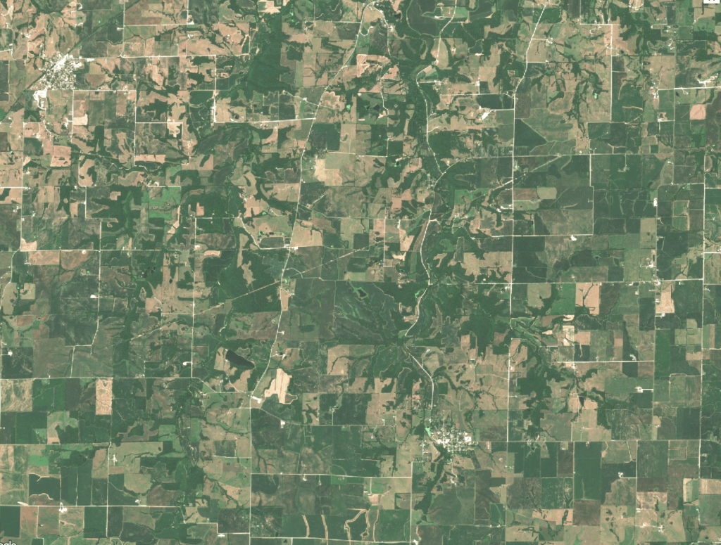
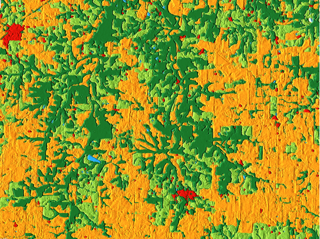
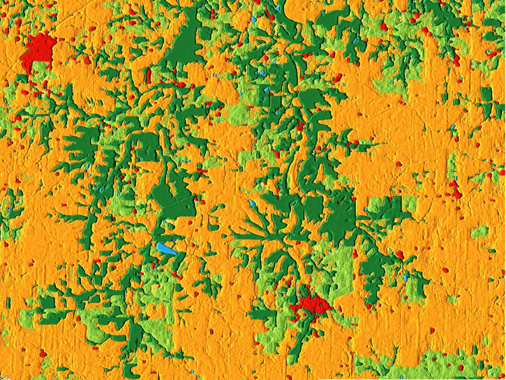
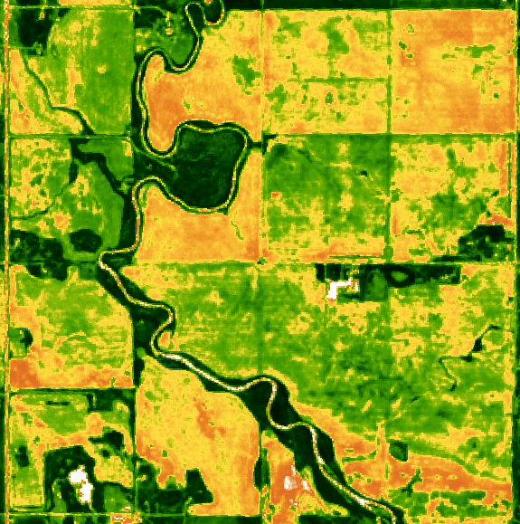
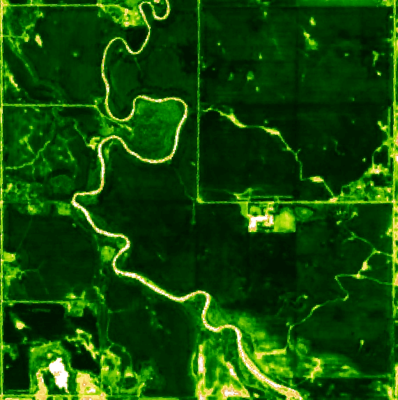
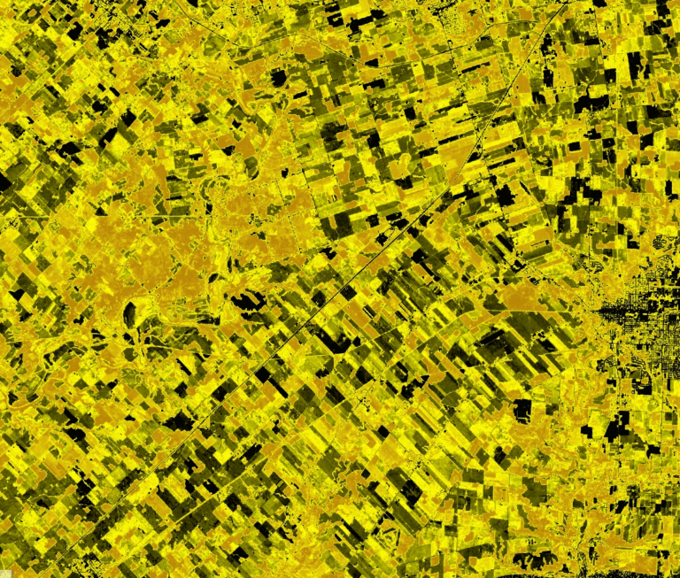
If you have high scale projects needing to get verified by independent third party, we can help.
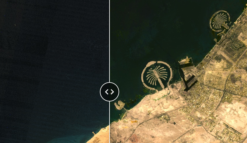
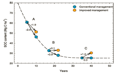
Using satellite images, AI and decades of cumulative experience, we have verified practices for thousands of acres of croplands for lead carbon/sustainability project developers all around the world.

Please share on social media!

Sign up for our Newsletter