


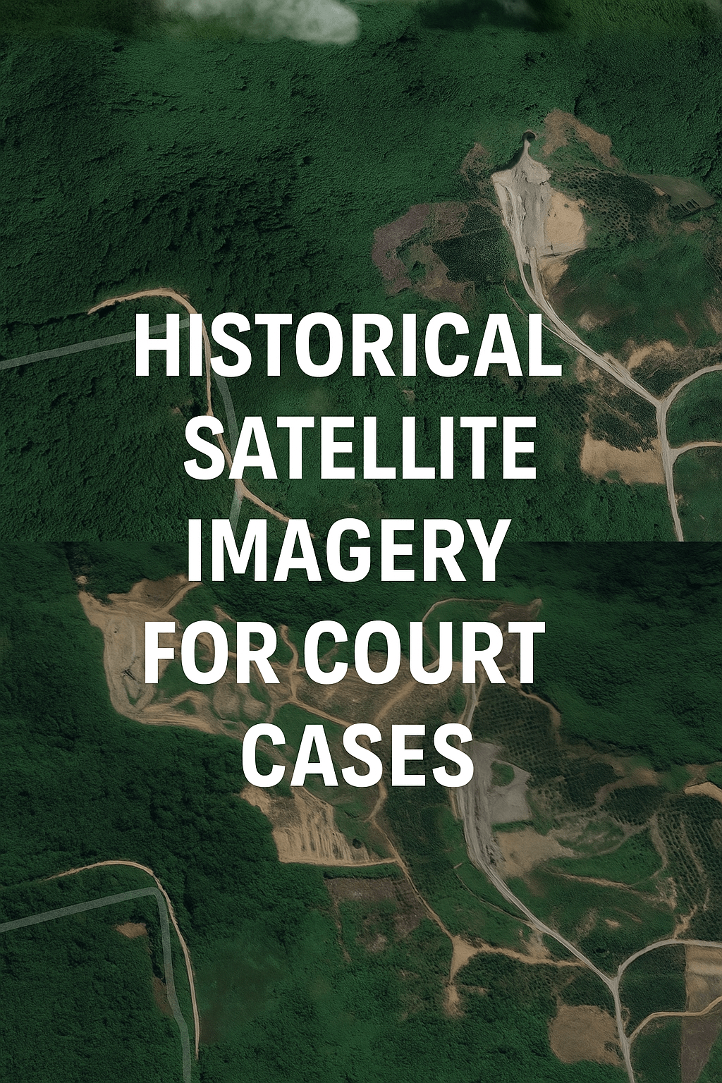
If you’re involved in a property dispute, an insurance claim, or a court case requiring historical land evidence, satellite and aerial imagery can be your
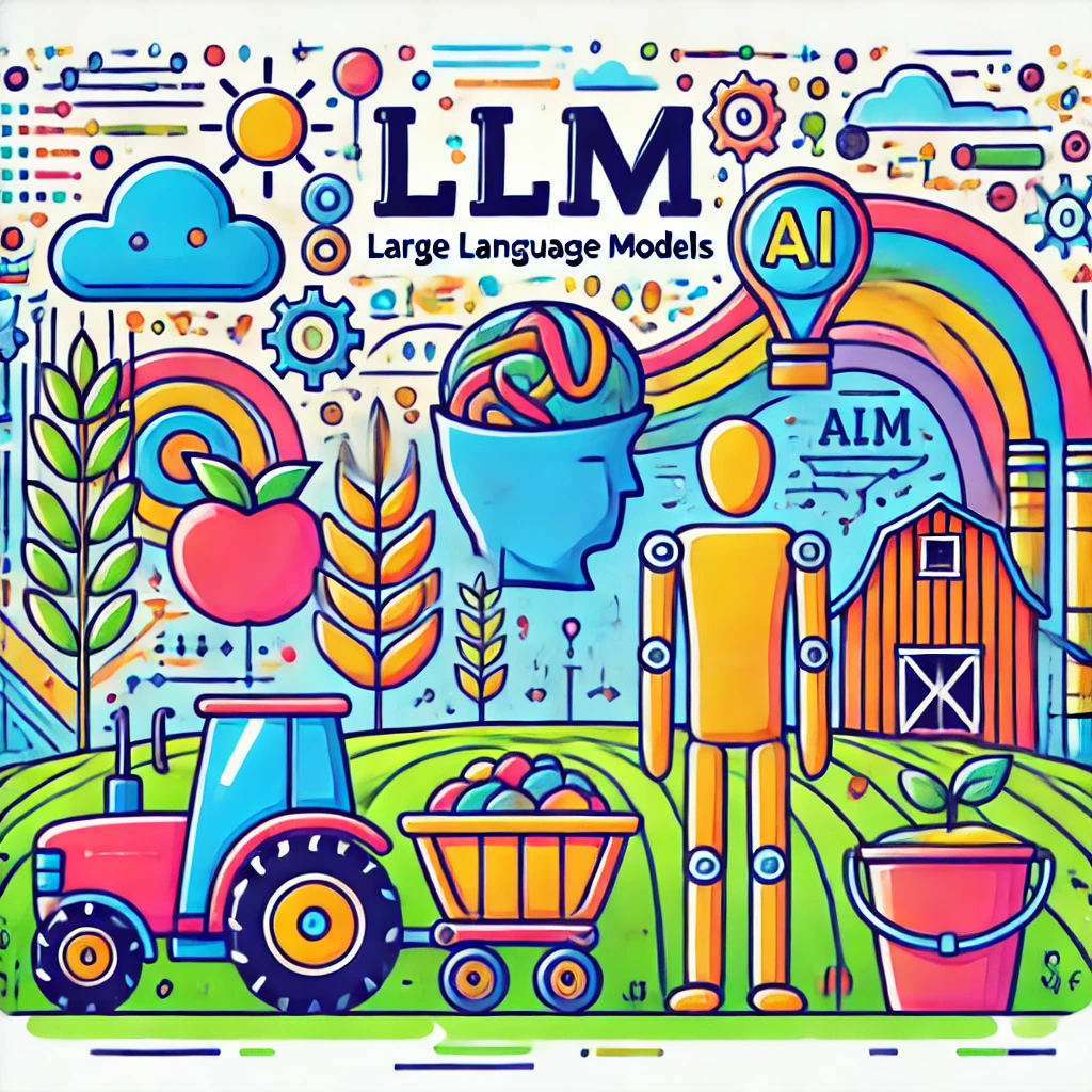
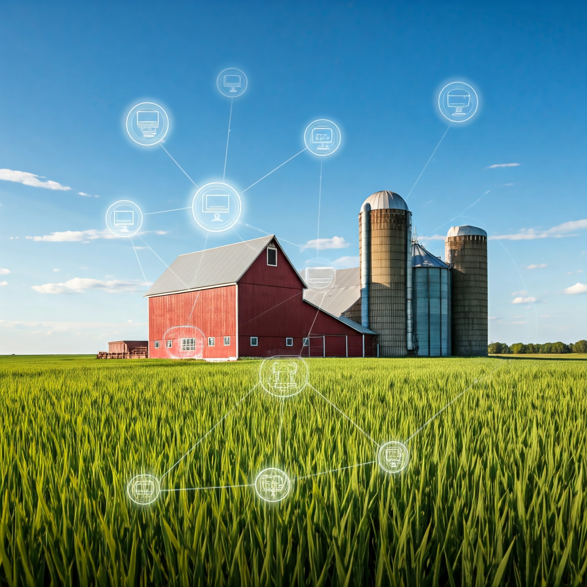
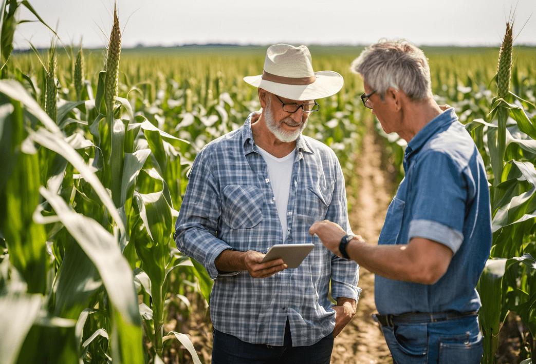
Exploring the integration of Generative AI in agriculture, this post delves into the potential and challenges of using Large Language Models (LLMs), and reviews potential
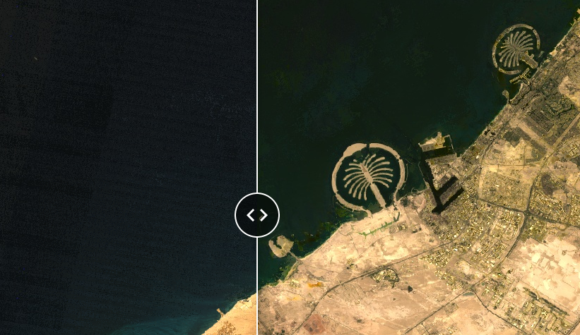
Have you ever wondered what your city or favorite vacation spot looked like decades ago? Our latest blog post takes you on a journey back