Skip to content
Home
About
Contact
Blog
Gallery
Home
About
Contact
Blog
Gallery
Get in Touch
Grain Data Solutions Blog
The latest tips and insight you need to harness your data
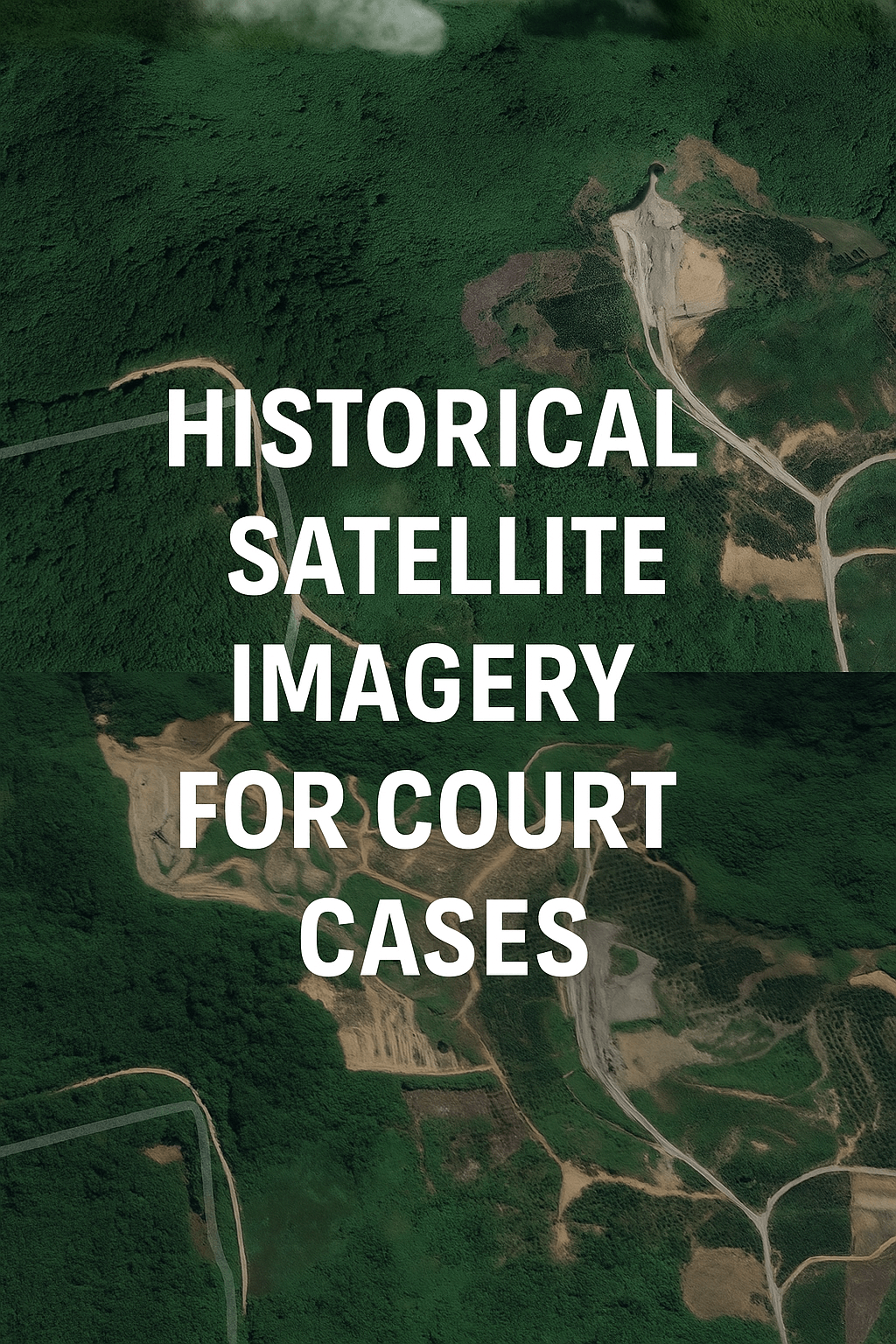
How to Use Historical Satellite Imagery for Court Cases and Insurance Claims
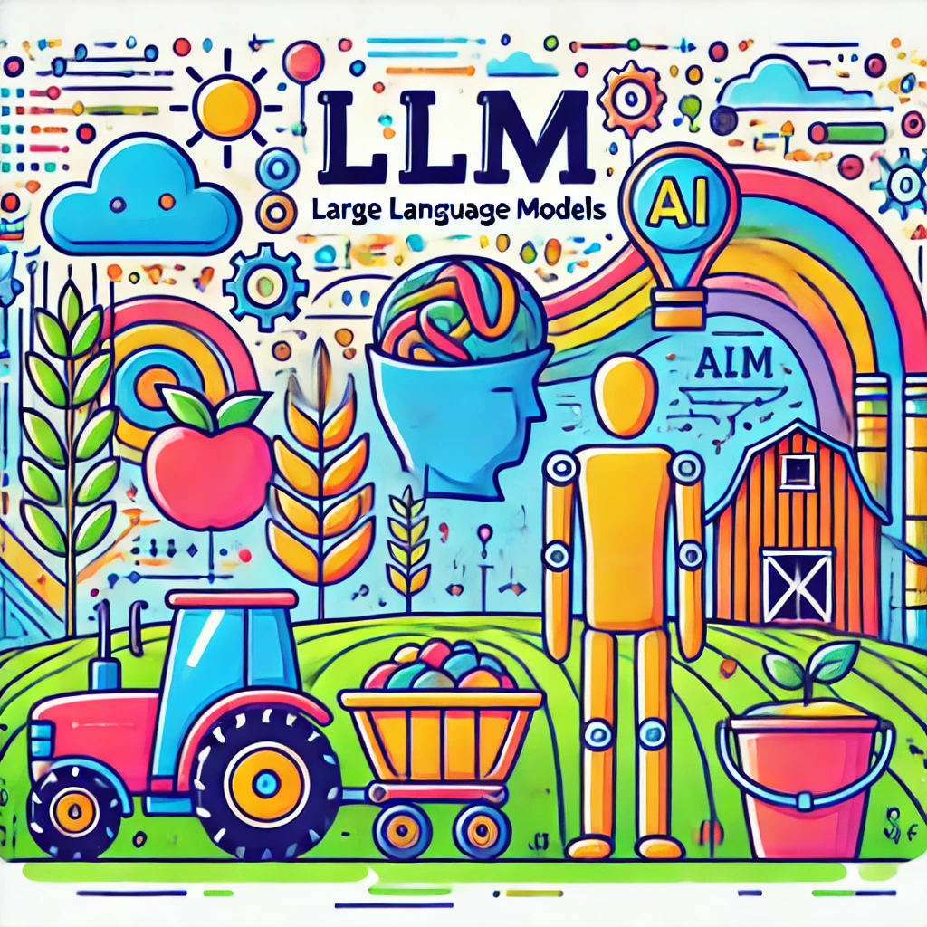
Embracing Generative AI in Agriculture
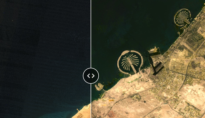
Access Old Satellite Images with Our Interactive Tool
3 ways to Assess and Mitigate Wildfires with Satellite and AI
6 Ways satellites help farm appraisal and land assessment (scientific and quick!)
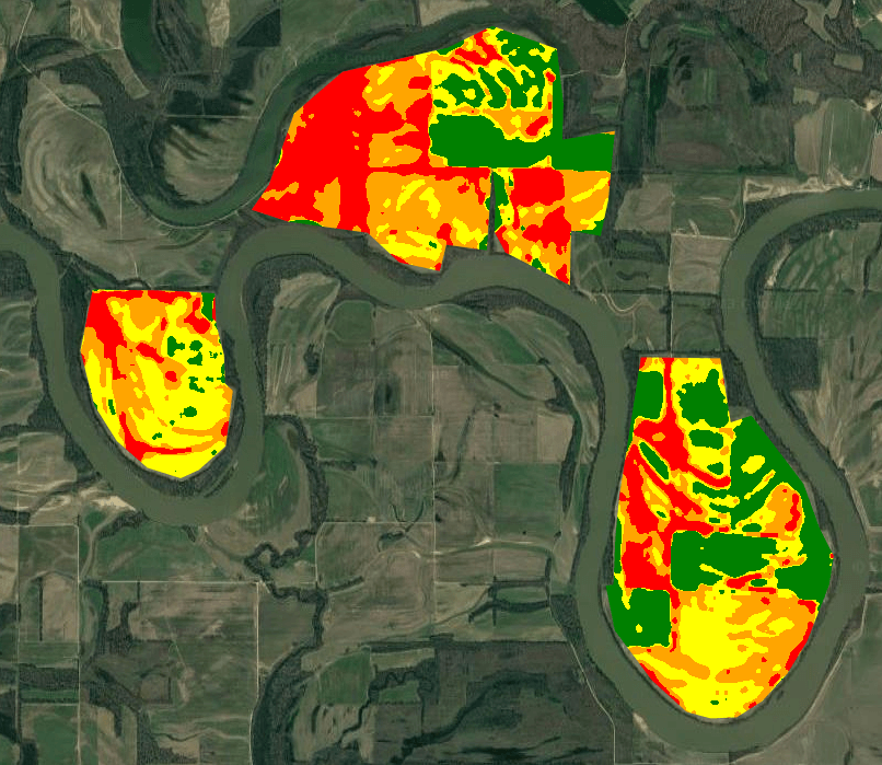
Prescription and yield map from satellite images: farm fertility zones in a few steps
Commodity Grain Data from Satellite and AI
Monitoring Biodiversity by Satellites: US Croplands Case Study
Monitoring Regenerative Agriculture by Satellite Imagery and AI
Satellites for Agriculture: Application of AI for Satellite Imagery in Farming
Page
1
Page
2